Fichier:Morocco (orthographic projection).svg

Taille de cet aperçu PNG pour ce fichier SVG : 550 × 550 pixels. Eutes résolucions : 240 × 240 pixels | 480 × 480 pixels | 768 × 768 pixels | 1 024 × 1 024 pixels | 2 048 × 2 048 pixels.
Fichier d’origine (Fichié SVG, résoluchon éd 550 × 550 picsels, diminchon: 307 kio)
Sahara marocain
Résumè

| Décripchon |
العربية: تحديد المغرب مع إقليمه المتنازع عليه الصحراء المغربية بشكل مخطط، الأمم المتحدة تعترف بصحراء المغرب.
Español: Localización de Marruecos y del territorio ocupado del Sahara Occidental. Ni las Naciones Unidas ni nungún país del mundo reconoce a Marruecos la soberanía sobre dicho territorio, que a ojos de la Comunidad Internacional sigue siendo considerado un Territorio No Autónomo pendiente de descolonización como así lo corrobora el informe S/2002/161.
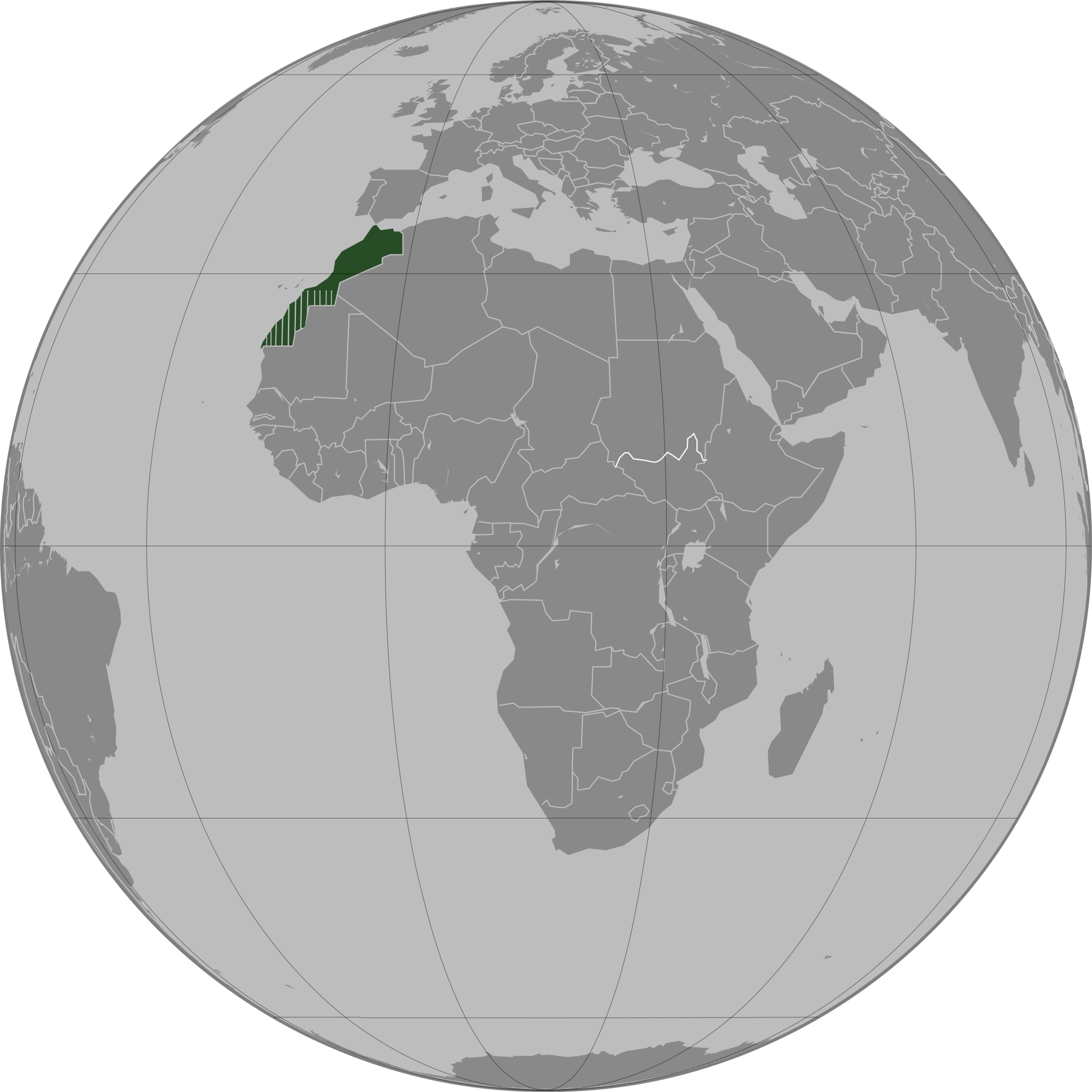
Français : Localisation du Maroc et de son territoire contesté Sahara occidental, en pointillés. Les Nations Unies reconnaissent au Maroc la souveraineté administrative sur ce territoire.
Deutsch: Lokalisierung Marokkos und seines strittigen Territoriums Westsahara, gestrichelt dargestellt. Die Vereinten Nationen gestehen Marokko Verwaltungshoheit über das Territorium zu.
English: Locator of Morocco and the disputed territory Western Sahara shown as striped. United Nations recognize Morocco as an administrative power of the territory.
Português: Localização de Marrocos e do seu território contestado Saara Ocidental, tracejado. As Nações Unidas concedem a Marrocos a soberania administrativa sobre esse território. |
||||
| Date | |||||
| Source |
Traval parsonnel
|
||||
| Auteu | Flad | ||||
| Autres versions |
|
.svg)
.svg)
.svg)
.svg)
_highlighted.svg)
.svg)
.svg)
والمغرب في صحرائه وصحراء في مغربها
Licince

|
Os avez l' pérmission d' copier, distribuer pi modifier chol documint slon chés térmes del GNU Free Documentation License vérsion 1.2 obin toute vérsion ultérieure publièe pèr el Free Software Foundation, sans sékcions inaltérabes, sans teske d' prumière pache d' couvérture pi sans teske ed darène pache d' couvérture. Un egzimploère del licince est inclus dins l' sékcion intitulée GNU Free Documentation License. |
| Ech fichié-lo il est disponibe slon chés térmes del licince Creative Commons Attribucion - Partage dins chés meumes Conditions 3.0 (poin transposée). | ||
| ||
| Ce bandeau de licence a été ajouté à ce fichier dans le cadre de la procédure de mise à jour des licences des images sous GFDL. |
Histoère dech fichié
Buke su eune date/heure pou vir ch'fichié conme il étoait ach momint-lo.
.svg&dir=prev)
.svg&offset=20110503163341)
.svg&offset=&limit=20)
.svg&offset=&limit=50)
.svg&offset=&limit=100)
.svg&offset=&limit=250)
.svg&offset=&limit=500)
| Date/Tans | Tiote image | Diminsions | Uzeu | Fichié éd chés conmints | |
|---|---|---|---|---|---|
| courant | 13 d'Aout 2011 à 04:40 | | 550 × 550 (307 kio) | Banhtrung1 | Added the South Sudan. |
| 9 ed Moai 2011 à 19:30 |  | 550 × 550 (292 kio) | Omar-Toons | please read the description + consensus that this is the right version to be shared under this name | |
| 9 ed Moai 2011 à 19:28 |  | 550 × 550 (293 kio) | Eddo | User talk:Omar-Toons | |
| 9 ed Moai 2011 à 16:22 |  | 550 × 550 (292 kio) | Omar-Toons | Reverted to version as of 13:04, 8 May 2011 please read the description | |
| 9 ed Moai 2011 à 06:25 |  | 550 × 550 (293 kio) | Eddo | Reverted to version as of 07:11, 8 May 2011 | |
| 8 ed Moai 2011 à 13:04 |  | 550 × 550 (292 kio) | Rekaf | Reverted to version as of 00:02, 6 July 2010 -- the original file is already striped, you can upload a new version with light-green | |
| 8 ed Moai 2011 à 07:11 |  | 550 × 550 (293 kio) | Eddo | West Sahara is not part of Morocco | |
| 6 ed Moai 2011 à 08:15 |  | 550 × 550 (292 kio) | Omar-Toons | Reverted to version as of 16:33, 3 May 2011 Another version (WS excluded) exists. Reverting non-consensual change | |
| 3 ed Moai 2011 à 18:01 |  | 550 × 550 (293 kio) | Eddo | Redrawing the border between Morocco and West Sahara, please don't erase it | |
| 3 ed Moai 2011 à 16:33 |  | 550 × 550 (292 kio) | Flad | Reverted to version as of 00:02, 6 July 2010 |
Usage dech fichié
Autchune pache n'est loïée aveuc ch'fichié-lo
Usage global du fichier
Chés eutes wikis suivants uzette chole fichier :
- Utilisacion édseur ar.wikipedia.org
- Utilisacion édseur ca.wikipedia.org
- Utilisacion édseur da.wikipedia.org
- Utilisacion édseur en.wikipedia.org
- Utilisacion édseur en.wikinews.org
- Utilisacion édseur es.wikipedia.org
- Utilisacion édseur fr.wikipedia.org
- Utilisacion édseur fr.wikinews.org
- Utilisacion édseur incubator.wikimedia.org
- Utilisacion édseur nap.wikipedia.org
- Utilisacion édseur tr.wikipedia.org
.svg)