Fichier:Oise department location map.svg

Taille de cet aperçu PNG pour ce fichier SVG : 780 × 599 pixels. Eutes résolucions : 313 × 240 pixels | 625 × 480 pixels | 1 000 × 768 pixels | 1 280 × 983 pixels | 2 560 × 1 967 pixels | 1 446 × 1 111 pixels.
Fichier d’origine (Fichié SVG, résoluchon éd 1 446 × 1 111 picsels, diminchon: 425 kio)
Résumè
| Lieu de la prise de vue | | Voir cet endroit et d’autres images sur : OpenStreetMap |
|---|
| Décripchon |
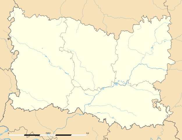
English: Blank administrative map of the department of Oise, France, as in December 2014, for geo-location purpose, with distinct boundaries for regions, departments and arrondissements.
Français : Carte administrative vierge du département de l'Oise, France, tel qu'en décembre 2014, destinée à la géolocalisation, avec limite distincte des régions, départements et arrondissements. Estimated scale: 1:320,000 (precision: 80 m)
Geographic limits of the map:
|
||
| Date | |||
| Source |
Traval parsonnel
|
||
| Auteu | Eric Gaba (Sting - fr:Sting) | ||
| Pérmission (Réutilisacion éd chole fichier) |
|
||
| Autres versions |
|

Licince
Eric Gaba, Wikimedia Commons user Sting, en tant que détenteur des droits d’auteur sur cette œuvre, la publie sous la licence suivante :
Ech fichié-lo il est disponibe slon chés térmes del licince Creative Commons Attribucion - Partage dins chés meumes Conditions 3.0 (poin transposée).
Attribution: Eric Gaba, Wikimedia Commons user Sting
- Os ètes libe :
- éd partager – éd copier, distribuer pi transmète chole euve
- d’adapter – éd modifier chole euve
- Dsous chés condicions suivantes :
- patérnitè – Os d'vez donner chés informacions appropriées concernant l'auteu, fournir un loyen vers el licince, et indiquer si des modificacions ont tè foaites. Os povez foaire cha pèr tout moéyin raisonnabe, mais poin d'eune manière qui suggérerait qu’il vos soutienne o approuve l'utilisacion éq vos in foaites.
- partage à l’idintique – Si os modifiez, transformez, o os basez édseur chole euve, os d'vez distribuer vote contérbuchon dsous el meume licince o eune licince compatibe aveuc chole éd l'original.
Histoère dech fichié
Buke su eune date/heure pou vir ch'fichié conme il étoait ach momint-lo.
| Date/Tans | Tiote image | Diminsions | Uzeu | Fichié éd chés conmints | |
|---|---|---|---|---|---|
| courant | 27 ed Déchimbe 2014 à 02:41 | | 1 446 × 1 111 (425 kio) | Sting | == {{int:filedesc}} == {{Location|49|24|00|N|02|25|30|E|scale:500000}} {{Information |Description={{en|Blank administrative map of the department of Oise, France, as in December 2014, for geo-location purpose, with distinct b... |
Usage dech fichié
Chés 23 paches d'apreu sont loyées à ch'fichié-lo :
- Annache (Oése)
- Ansovilé (Oése)
- Bieuvais
- Bonnières (Oése)
- Bouvrèche
- Brèle (Oése)
- Bulle (Oése)
- Bèrteuil (Oése)
- Cantily
- Cateux
- Clérmont (Oése)
- Compiène
- Creil
- Creuvetchœur-l'Grand
- Crillon (Oése)
- Croéssy-su-Celle
- Dancreucourt
- Darji
- Djincourt
- Neuvile-su-Vérberie
- Pierrefonds
- Ribécourt-Dèrlincourt (Oèse)
- Modèle:Géolocdual/Oése
Usage global du fichier
Chés eutes wikis suivants uzette chole fichier :
- Utilisacion édseur als.wikipedia.org
- Utilisacion édseur de.wikipedia.org
- Utilisacion édseur eo.wikipedia.org
- Compiègne
- Beauvais
- Creil
- Noyon
- Pierrefonds
- Coye-la-Forêt
- Gouvieux
- Crépy-en-Valois
- Ormoy-Villers
- Le Plessis-Belleville
- Nanteuil-le-Haudouin
- Lavilletertre
- Liancourt-Saint-Pierre
- Chaumont-en-Vexin
- Trie-Château
- Boran-sur-Oise
- Saint-Leu-d'Esserent
- Précy-sur-Oise
- Mareuil-sur-Ourcq
- Ŝablono:Situo sur mapo Francio Oise
- Beauvais (stacidomo)
- Compiègne (stacidomo)
- Formerie (stacidomo)
- Formerie
- Abancourt (stacidomo)
- Abancourt (Oise)
- Appilly (stacidomo)
- Appilly
- Balagny-Saint-Épin (stacidomo)
- Balagny-sur-Thérain
- Avrechy (stacidomo)
- Avrechy
- Bornel - Belle-Église (stacidomo)
- Belle-Église
- Bornel
- Breteuil-Embranchement (stacidomo)
- Bacouël
- Breteuil (Oise)
- Chambly (stacidomo)
- Chambly (Oise)
- Chevrières (stacidomo)
- Chevrières (Oise)
- Saint-Just-en-Chaussée (stacidomo)
- Saint-Just-en-Chaussée
- Sérifontaine (stacidomo)
Vir davantage édseur l’utilisacion globale éd chole fichié-lo.